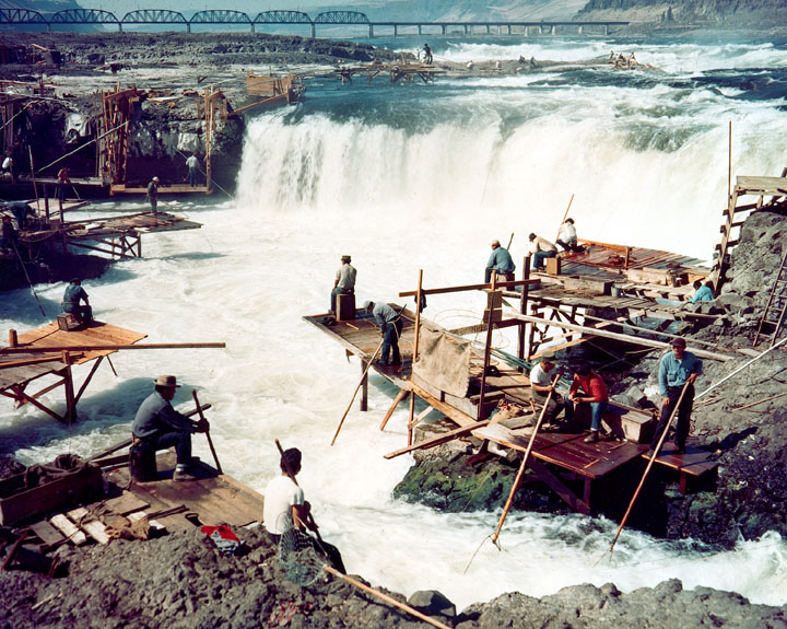
“[The water] rushes with great impetuosity; the foaming surges dash through the rocks with terrific violence; no craft, either large or small, can venture there safely. During floods, this obstruction, or ledge of rocks, is covered with water, yet the passage of the narrows is not thereby improved.”
The rapids, along with nearby Celilo Falls, were submerged in 1957 with the construction of a dam.


The Bolton Strid is a similar thing, just with sandstone
TIL about waterway charts! I’ve only ever used maritime charts, even when traversing canal systems. I’m going to see if I can find up to date waterway charts for my local area.
I actually had a similar moment looking at the wiki! I couldn’t find the strid on that list, until I started scanning for dangerous looking icons