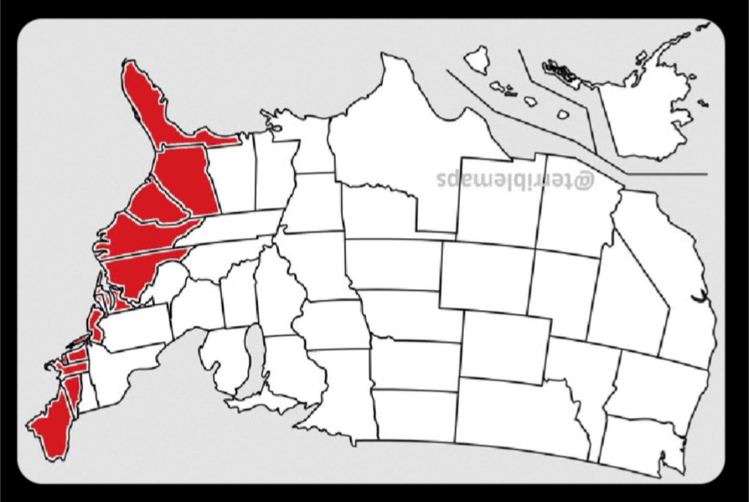
Right != East, you north-up-map-orientation imperialist.
To be fair, the map was posted by Terrible Maps.
Let’s take the middle ground, and make south up, but project from Earth’s interior so right can still be east.
I don’t understand, would you prefer a map coloring in the far wrong side instead?
I like how long island is red but not the rest of NY.
If you’ve met any Long Islanders, this tracks.
I am one and yeah…it’s weird here.
Same with the bit of western Maryland that isn’t colored in
deleted by creator
Fun fact, the easternmost point in the US is actually on Semisopochnoi Island in Alaska.
So this is only technically true.
If we chose another place for the zero meridian, it wouldn’t be the case. Reasonably you’d plot the entire US on a map and find the easternmost point.
Just did that and Semisopochnoi Island still came out as the easternmost point.
Yeah, OP’s instructions were vague. I think they mean to set the origin of the coordinate system as the centroid of all US territory.
Past Randal Monroe was bothered that the US isn’t the center of everything, apparently.
The westernmost point is also in Alaska.
What if I’m facing south?
Maybe you’re a migratory bird


#molepeoplerights
(To be clear, this is as seen “from below”)
The best kind of correct.
Only if you’re coming from Texas. If you start in New York, Canada is the Far Right.
He’s out-of-line, but he’s right.
Virginia ain’t far, right fam. Youngkin might be, but NoVa, Hampton Roads, and Richmond more than make up for the west. Fucking district bullshit, like every other place in the country, is how GOP jury rigs. Numbers say otherwise.
Whooooosh


